Skip to content
081317564196
info@respatispasial.co.id
Menu
Home
Profil
Services
Galeri
Kontak
Menu
Home
Profil
Services
Galeri
Kontak
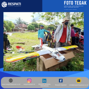
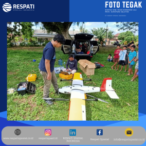
Survey & Mapping – Lidar & RBG Aerial Photo
Search for: